Paper published on Earth Environmental Science in 2021, after the EUROCK 2021 conference:
Foria_2021_IOP_Conf._Ser.__Earth_Environ._Sci._833_012074
Read moreLink to xyHt homepage – July 2021:
Link to dam monitoring paper:
Damming Evidence – Using Lidar Models to Characterize Dam Sites
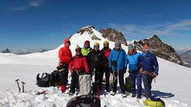
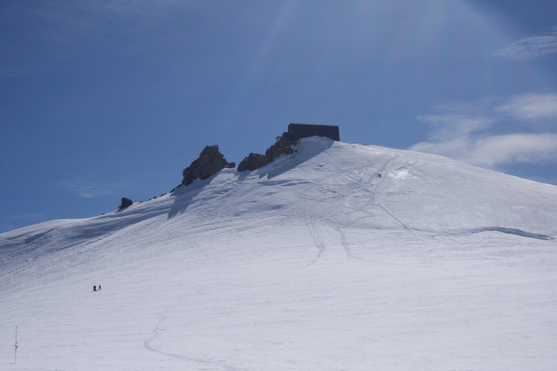
In 2019-2020 Imageo in collaboration with CAI (Club Alpino Italiano) and the Earth Science Dept. of the University of Torino, organized a GeoRadar, Laser Scanner and photogrammetric survey campaign to study the ice depth and the stability in the area surrounding Capanna Margherita Alpine Hut, the highest Alpine Hut in Europe.
This is the Earth Science Dept. press release on this project:
Read moreLong linear railway corridors often cross areas that are highly susceptible to landslides and even low volume landslips can cause serious problems and may compromise safety. In order to assess the landslides hazard, detailed data such as slope geometry, geotechnical and geomechanical properties of materials, drainage system pattern etc. are needed. Even though thematic datasets are available and easily downloadable for the majority of the Italian territory, their scale is not adequate and ad-hoc input data must be gathered. An original procedure based on geomatics and geomorphometric approach to assess landslide hazard and support remedial works planning along railway lines has been developed and is presented in this paper. Ground and remotely sensed data are processed in order to obtain a wide range of parameters along the railway corridor, from slope geometry to rock mass classification. Multi-Criteria Analysis (MCA) is then used to create a composed and spatially distributed index of landslide hazard, based on normalized values of triggering factors Such index is used to classify both trenches and natural slopes along the railway corridor, supporting decision-makers in defining the most appropriate mitigation measures and planning their implementation.
This method has been successfully applied to hundreds km of railway lines in Central Italy.
In recent years, the availability of laser scanner instruments capable of operating over long distances (up to
a distance of more than one kilometer with the most recent equipment) and the use of survey from drone
has allowed us to extend this important methodology, once reserved for applications in the architectural
field, the survey of dams and relevant natural surfaces (banks and reservoirs ..). Thanks to these innovations
it is now possible to carry out very accurate three-dimensional reconstructions of both engineering works
and rocky slopes and slopes in general, as well as bathymetric surveys with an empty lake, from which various
information can be extracted. These can be of various kinds, architectural, topographical (level curves,
profiles, etc.) and geometrical (eg discontinuity, reservoir volume or unstable masses), etc.
Thanks to the availability of a very detailed 3D digital model of the scanned surface, terrestrial laser scanner
and UAVs represents very effective tools to accurately extract geometrical information from inaccessible
structures and rock cliffs from afar. Comparisons between multi-temporal scans of the same surface can be
helpful in monitoring surface displacements and detecting changes in surface features e.g. evolution of
crack patterns, extent of deteriorated areas and/or with pathologies.