In 2019-2020 Imageo in collaboration with CAI (Club Alpino Italiano), the Earth Science Dept. of the University of Torino and the Polytechnic University of Milan, organized a Georadar, Laser Scanner and photogrammetric survey campaign to study the ice depth and the stability in the area surrounding...
Read moreScadaGeo is a system/service aimed at realizing hydrogeological hazard/risk maps of the areas crossed by linear infrastructures e.g. Roads, Railroads and FlowLines. ScadaGeo provides a synoptic view of the hydrogeological hazard/risk along the selected infrastructure by using an objective and repeatable approach. ScadaGeo is a Multi-Scale approach based on progressively...
Read moreLaser scanner scanning and helicopter photogrammetric survey of a rocky slope (1200m x 500m h) aimed at supporting the design of rock falls defense works on SP 11 ‘della Val d’Adige’ (Northern Italy). The work have been made by returning an accurate three-dimensional digital model of...
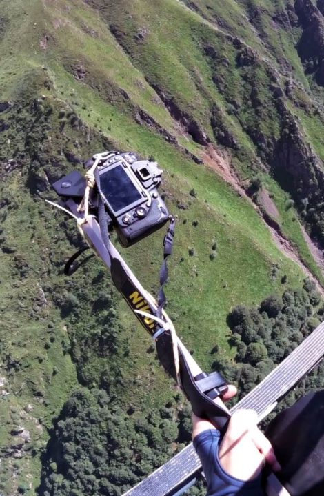
Read moreTerrestrial laser scanner survey of the slopes and rocky walls above the railway line Roma-Formia-Napoli, for the detection of potentially unstable volumes on the slopes and the structural and geomechanical characterization of the rock mass. A helicopter photogrammetric survey has been performed to produce orthophotos, detailed...
Read moreDetailed topographic survey aimed at obtaining as-built drawings of the Pavana dam. It is a quite complex structure, mainly a multiple arch dam with a gravity part on the left. A laser scanner survey of the dam, spillways and powerhouse was performed. Both upstream (the emerged...
Read moreLaser scanner survey on the eastern slope of Mont Chetif, Becco dell’Aquila sector, aimed at returning an accurate three-dimensional digital model of the area. The dense point cloud of the slope was processed with both commercial and proprietary software capable of providing the geomechanical characterization of...
Read moreThe Croce Rossa Glacier (Viù Valley , Western Alps) is a small glacier hanging over a hydroelectric reservoir. The following parameters are monitored since 1998: net mass balance, surface displacements, temperature monitoring at the ice-rock interface, monitoring of ice volume change through comparison of multi-temporal aerial...
Read moredevelopment of an original methodology based on MCA (Multi Criteria Analysis) approach, aimed at assessing landslide hazard along about 400 km of railway lines and supporting decision-makers in defining the most appropriate mitigation measures and planning their implementation. Basing on an ad hoc survey (airborne lidar...
Read more