IMAGEO's research and development is a natural aptitude.

Coupled with the ability of problem solving, strongly connotes the team’s professional identity.

Work approach

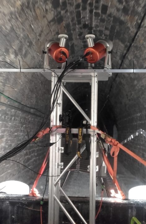
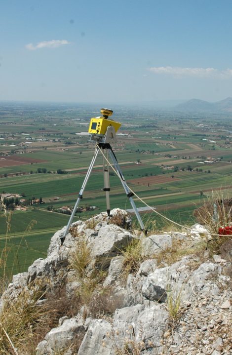
IMAGEO is able to provide high-level and value-added responses to its customers as it develops internally specific methodologies and approaches, as well as almost all of the procedures and algorithms that it uses in analyses. This allows to assure a personalized result, even in complex situations.

Main Services

  • Evaluation of landslide hazard along linear infrastructures and implementation of decisional Support Systems for the planning of protection and stabilization works.
  • Geomechanical characterization of the rocky outcrop through the analysis and elaboration of dense point clouds obtained from terrestrial laser and photogrammetric surveys, drone, helicopter.
  • Realization of geological, geomorphological, structural and hydrogeological studies to support the design of large civil engineering works through the integration between traditional and geomatics approaches
  • Characterization, monitoring and modelling of landslides
  • Design and management of monitoring networks for civil protection purposes
  • Application of remote sensing techniques (terrestrial laser scanner, LIDAR, photogrammetry, UAV/drones, mobile mapping, satellite imagery) for local, and regional territory analysis
  • Glacial studies and surveys, assessment of glacial risk
X
X
X
X
X
X
X
X
X
X
X
X
X
X
X
X
X
X
X
X
X
X
X
X
X
X
X
X
X
X
X
X
X
X
X
X

Softwares and Surveying tools

  • OPTECH ILRIS3D ER (Enhanced Range) Terrestrial laser scanner (operational range up to 800 m)
  • OPTECH ILRIS LR (Long Range) Terrestrial laser scanner (operational range up to 2500 m)
  • Integrated mobile mapping equipment based on two RENISHAW Merlin lidars and APPLANIX LV420 V5 IMU
  • 6 GNSS receivers Topcon mod. Hiper V, Hiper II e Legacy E-GGD
  • UAV Aermatica SAPR ANTEOS equipped with the following payload:
  • Sony Nex5, 16 Mpixel camera
  • Flir Tau2-324 thermal camera
  • UAV DJI Phantom4 with integrated 12 Mpixel camera
  • GPR antenna Radarteam Subecho 40 for glaciological investigations
  • Field fluorometer GGUN-FL
  • HEUCKE Ice Drill
  • INNOVMETRICS – Polyworks v.10.1 for 3D point cloud processing
  • GEXCEL-JRC – Reconstructor v.3.0 for 3D point cloud processing
  • TERRANUM COLTOP 3D for Lidar data analysis
  • AGISOFT – Photoscan Pro v.1.0 for photogrammetric analysis
  • DAN3D software for 3D landslide runout analysis
  • DANW software for 2D landslide runout analysis
  • ROCSCIENCE – DIPS v.6.012 for orientation based geological data analysis
  • ROCSCIENCE – Rocfall v.5.00 for 2D trajectographic analysis
  • LEICA Geo Office software for GNSS data processing
  • MAGNET Office software for Topographic and GNSS data processing
  • AUTODESK – AutoCAD v.2017
  • ESRI Arcgis v.10.2